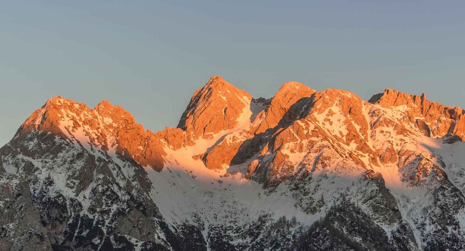
TRIGLAV HIKE AT THE END OF THE SEASON
SLOVENIA'S HIGHEST PEAK IN THE OFF SEASON
Triglav, Slovenia's highest peak – a true bucket-list hike in Slovenia's only national park.
This tour is for experienced hikers who would like to try themselves in an alpine environment.
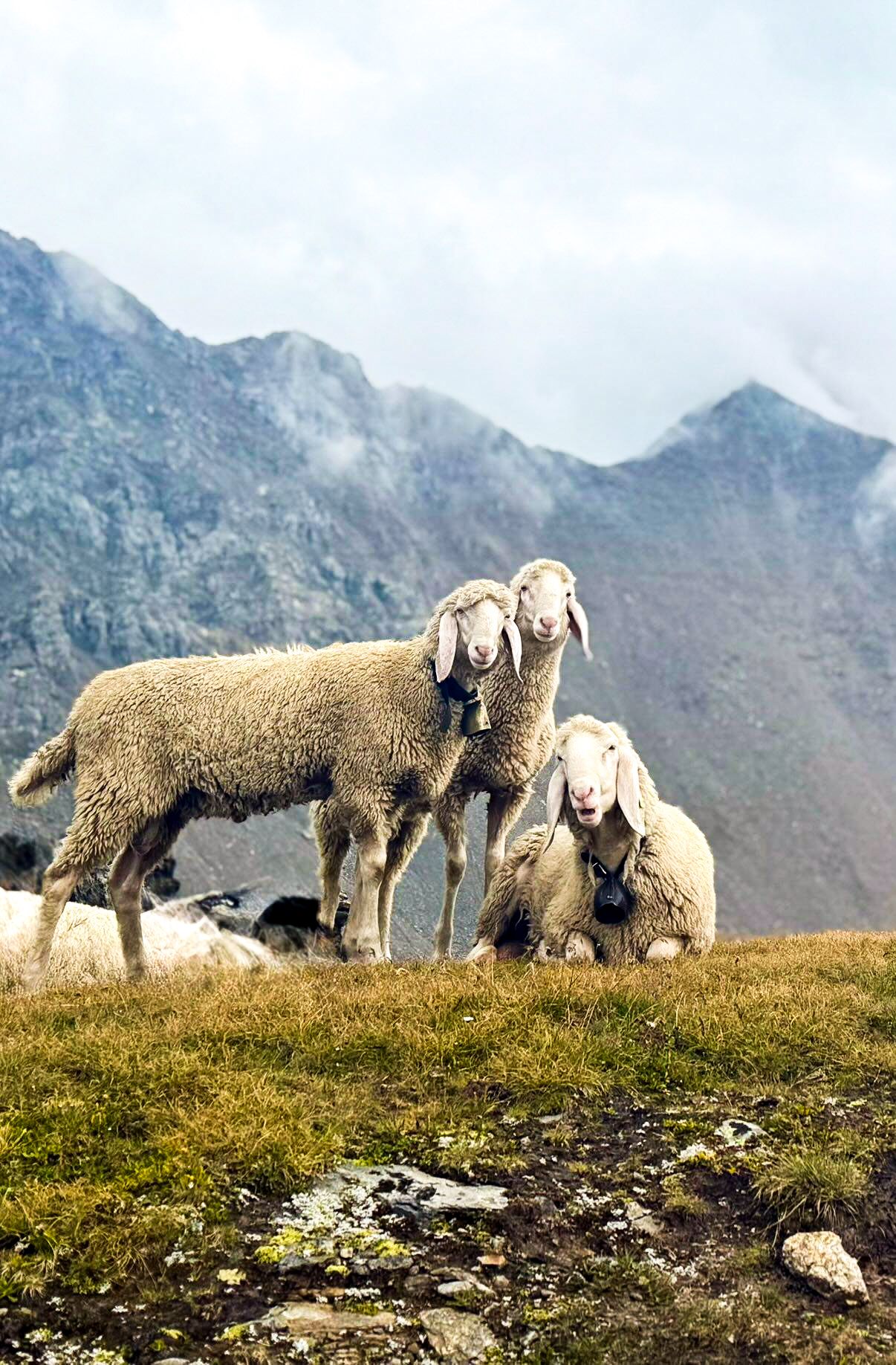
Join us at the end of October in Slovenia's only national park, Triglav National Park, where we hike up to the country's highest summit, Triglav. At this time of year the crowds are gone and the mountain is quiet. It is still a challenge, though: it is colder, and a little snow is possible.
TOUR DIFFICULTY
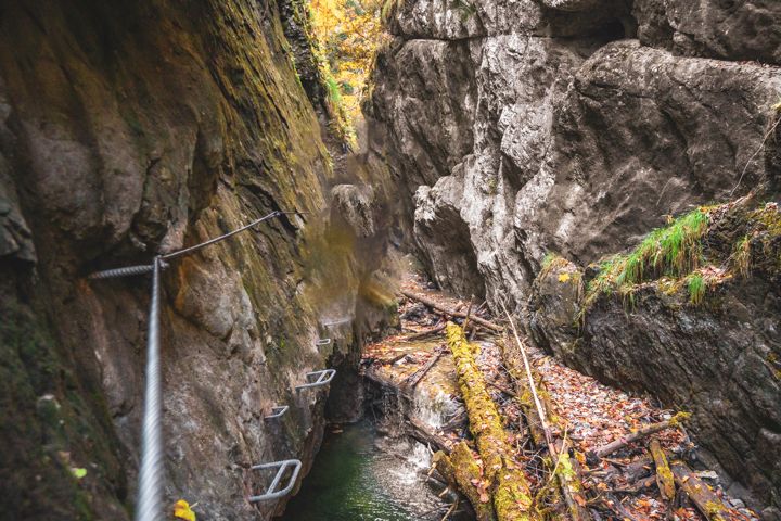
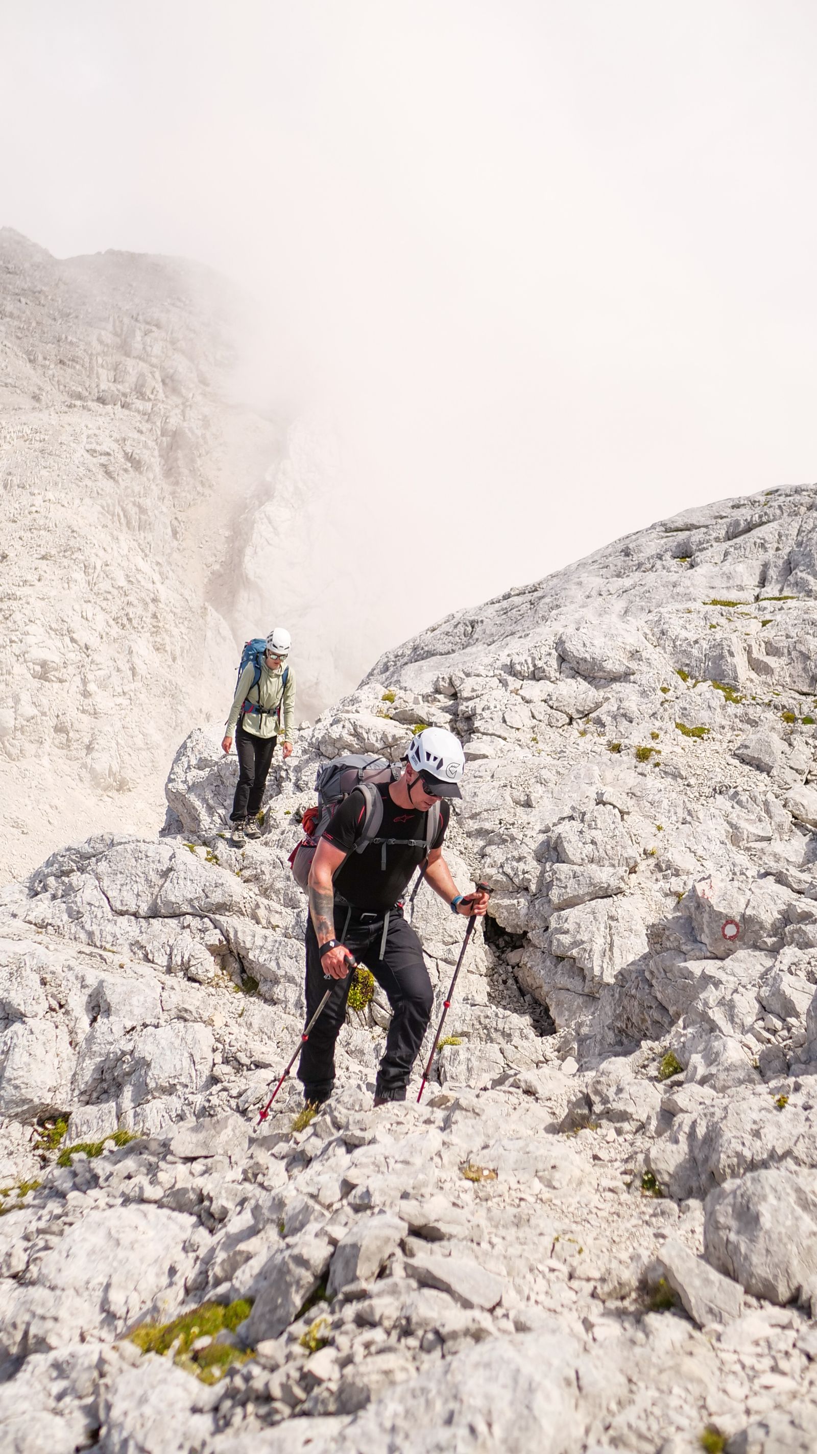
This is one of the slightly more technical tours: we will move on rocky, varied terrain and steeper slopes, with exposed sections in many places. This terrain requires good coordination. The weather can also affect the difficulty, but you can prepare for that with the right clothing and equipment!
If you can confidently manage 1000 – 1500 metres of elevation gain a day with a 5 – 8 kg backpack on varied, rocky terrain and you don't suffer from vertigo, this is the place for you!
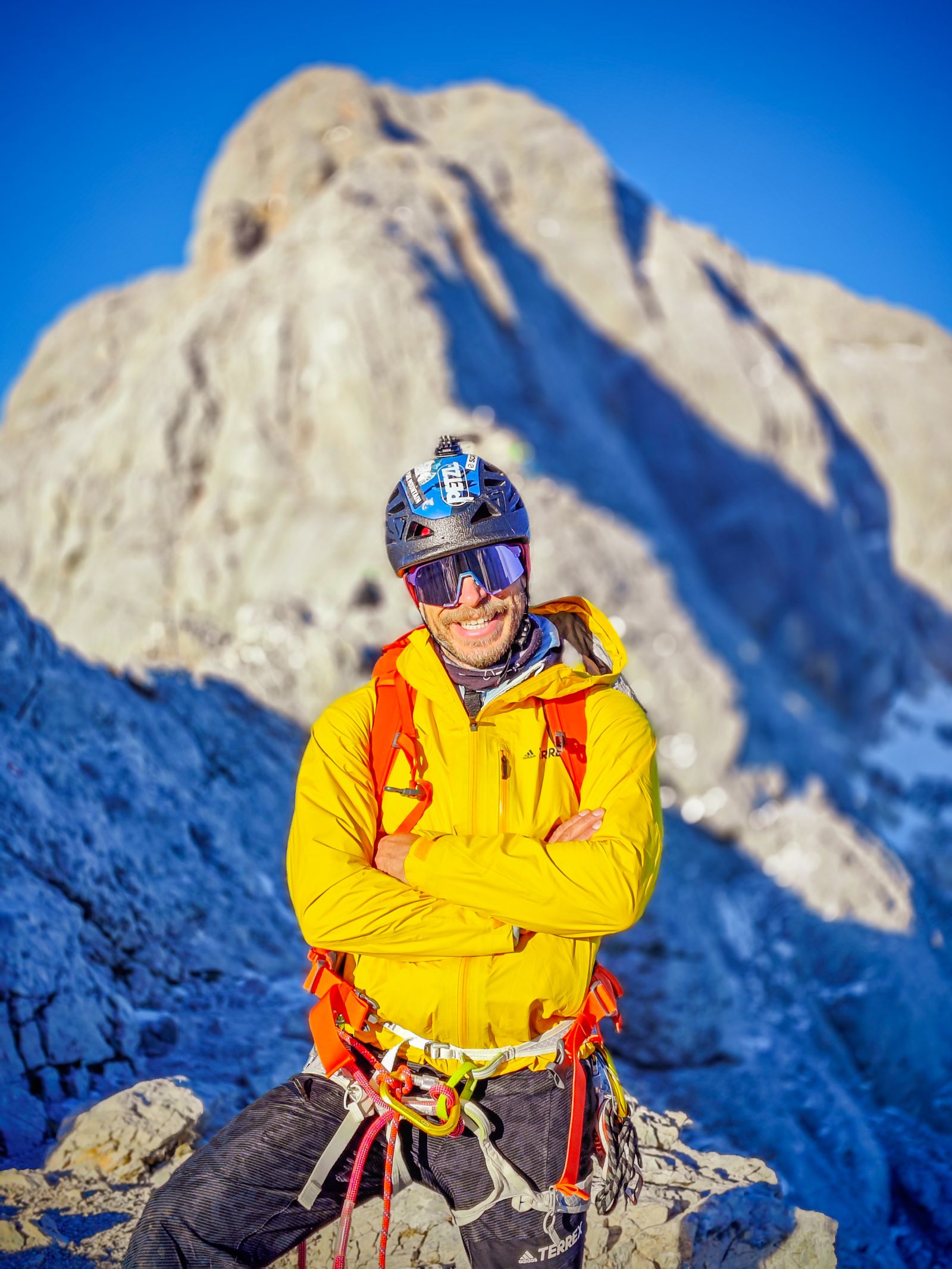
Precup Csaba, International Mountain Leader, guide of hikentech.com ↗.
PROGRAMME
-
01
Day one
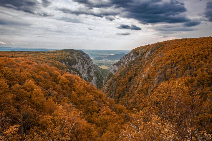
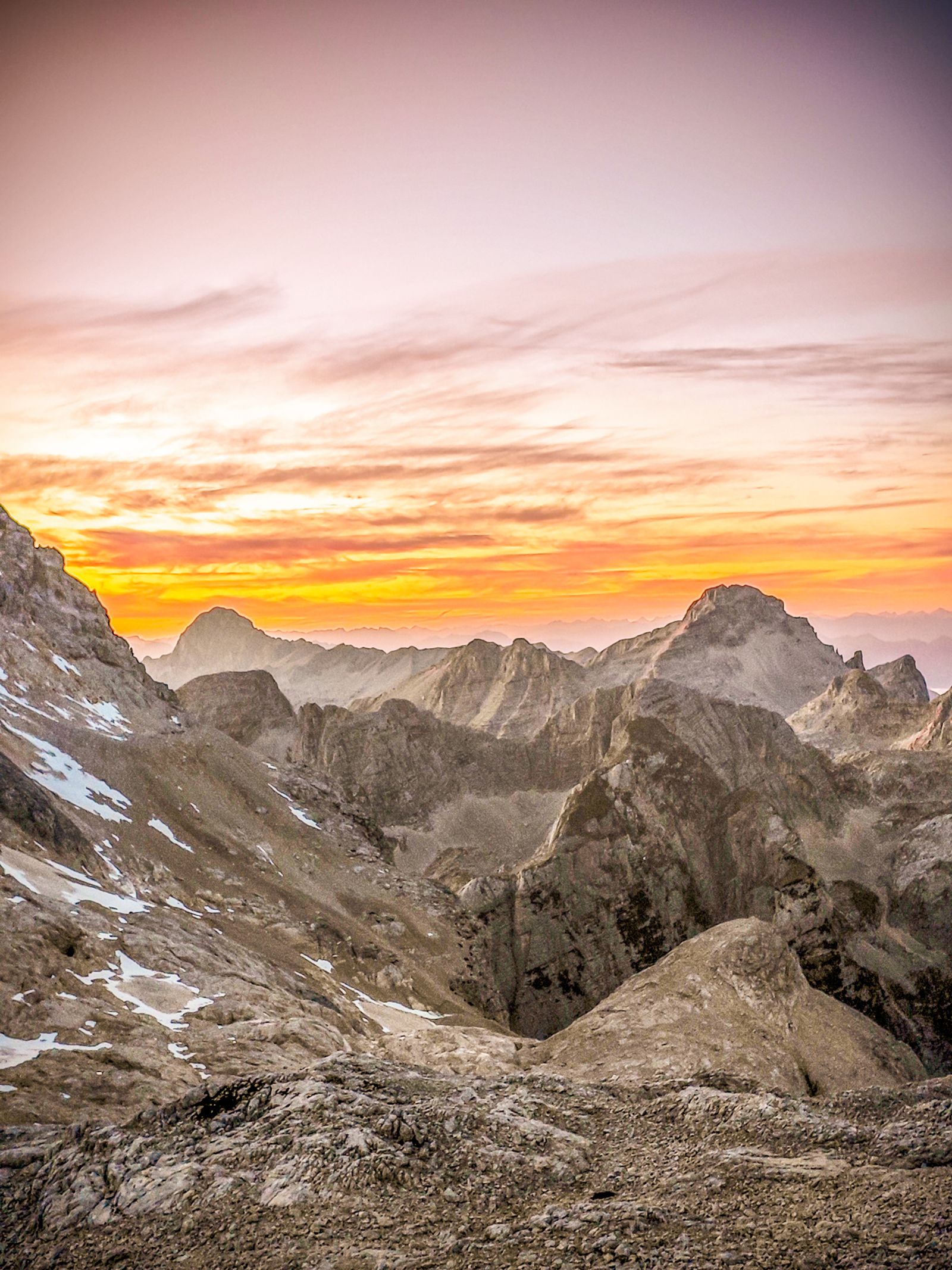
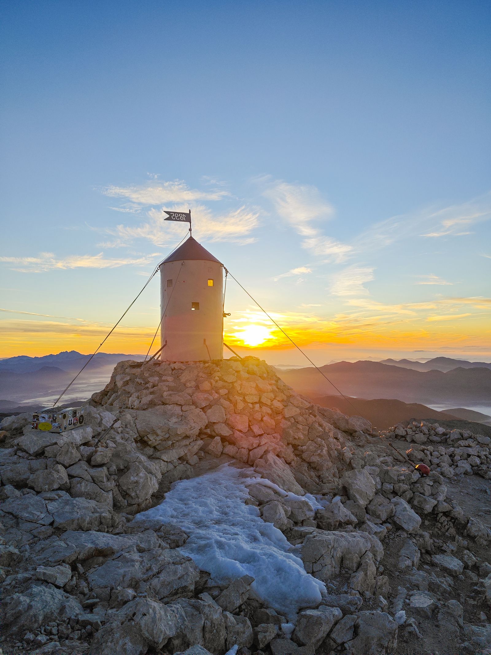
Early departure at 06:00 from the Kelenföld P+R car park 📍 map by carpool. The drive takes 5 – 6 hours to the Krma valley, where we leave the cars. From here we set off with packed rucksacks towards the Kredarica hut, where we spend the night. The path leads through a wonderful valley between beautiful limestone cliffs until we reach the hut, where we enjoy a stunning sunset.
Distance: 10 kmElevation: 1500 m upWalking time: 4 – 6 hours -
02
Day two
We get up early, around 05:00, and set off on today's hike – the summit awaits. From the hut it's only 300 metres of ascent, and the fresh morning air and the beautiful scenery will surely wake everyone up. 1 – 1.5 hours later we stand on the summit, looking down from Slovenia's highest point.
After the photos and the experience we return to the hut for breakfast and then head back to the car park, arriving around 13:00. We pack up and drive home, arriving late in the evening.
In the mountains and on via ferratas many unforeseeable factors can affect the programme (e.g. changeable weather). For this reason I cannot guarantee the success of the tour and cannot accept responsibility for changes. In extreme conditions the guide always decides on changes to the programme or the route!
Distance: 12 kmElevation: 300 m up, 1800 m downTime: 6 – 7 hours
COSTS
The tour costs HUF 79,000, which includes guiding, equipment and organisation.
PAYMENT ON REGISTRATION
Precup Csaba, sole trader
Bank account: 12100011-17482303
Tax number: 90073115 – 1 – 42
NOT INCLUDED IN THE PRICE
Carpool travel, paid on the spot (expected HUF 20,000 – 25,000 per person, depending on the actual group size, fuel consumption and how full the cars are),
Accommodation: EUR 30 per night
Travel insurance: around HUF 3,000
Travel costs HUF 15,000 – 25,000
Meals EUR 15 – 25
EQUIPMENT – CLOTHING
Clothing suited to the weather
- alpine boots / hiking boots
- rain jacket
- down jacket
- hiking trousers
- base layer
- mid layer
- neck gaiter
- sunglasses
- sunscreen
- 35+ litre hiking backpack
- trekking poles
- phone
- hiking socks
- gloves
Other accessories:
- helmet
- headlamp
- first-aid kit
Good to know
Travel
We travel by carpool, or in rented cars and minibuses. Those travelling to the venue on their own settle the travel costs among themselves. The travel cost is split between the passengers of each car, divided by the number of people in the car; the guide and the driver pay no travel costs!
Weather
Be prepared for changeable late-autumn weather; wind, rain and snow can come at any time, so bring layered, waterproof clothing and suitable equipment.
Accommodation
We will stay in a mountain hut.
Insurance
Participation requires travel insurance covering the whole period, valid for mountain rescue and hospital treatment. Recommended insurer: EUB, extreme sports category eub.hu ↗
Sign up for this tour
Fill in the form and we will get back to you within 24 hours with the details and payment information.